3D Modeling in the UAE
Point clouds and textured 3D models for inspection and as-built checks.
What it is
Photogrammetry turns overlapping drone images into dense point clouds and photo-textured 3D models. Teams can measure, inspect and share a site without returning to it.
You receive
- LAS / LAZ point cloud
- OBJ / FBX mesh
- 3D Tiles / web viewer
- Measured sections
Typical uses
- Tower and structure inspection
- As-built verification
- Stakeholder walk-throughs and presentations
- Digital twin base models
From scope to delivery.
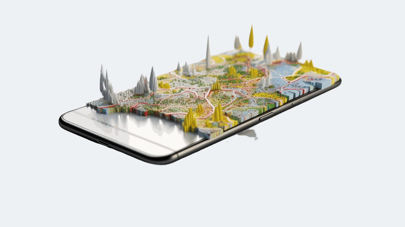
We agree the site boundary, the accuracy you need, the coordinate system and the deliverable formats, then send a clear quote.
3D Modeling: common questions.
What is the difference between a point cloud and a 3D mesh?
A point cloud is millions of measured 3D points, ideal for analysis and CAD. A mesh is a continuous textured surface, ideal for viewing and presentations. We can deliver both.
Can clients view the model without special software?
Yes. We can publish a web viewer link that opens in any modern browser.
Can 3D models be combined with BIM or CAD?
Yes. Models are delivered in your coordinate system so they line up with design files.
Need 3d modeling?
Send us the location and what you need. We reply within one business day.