Topographic Surveys in the UAE
Elevation models, contours and spot levels for engineering design.
What it is
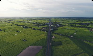
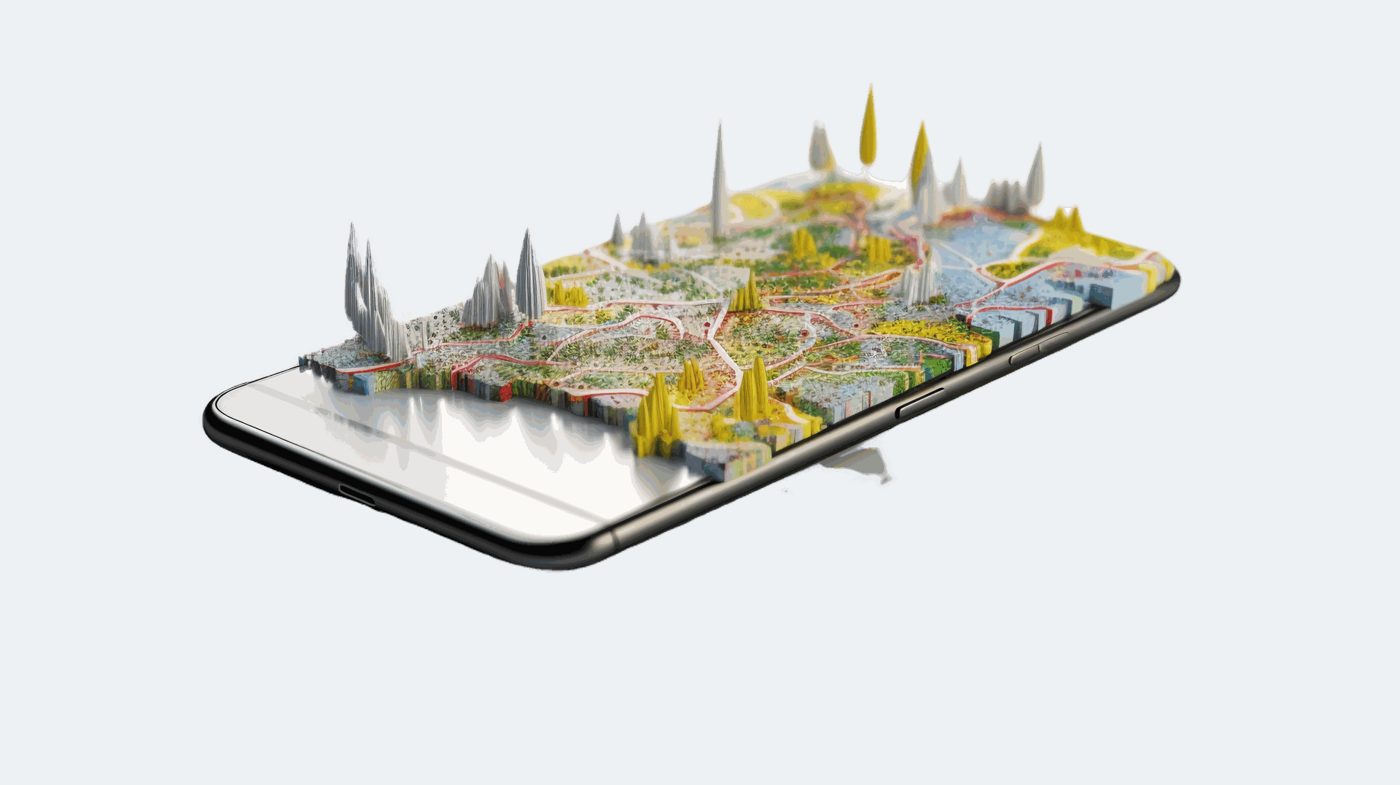
Topographic data is the starting point of almost every civil design. From one drone survey we produce digital surface and terrain models, contours at the interval your team needs, spot levels and breaklines, ready for CAD.
You receive
- DTM / DSM GeoTIFF
- Contours (DWG / DXF)
- Spot levels (CSV)
- Volume report
Typical uses
- Road, utility and drainage design
- Grading and earthworks
- Stockpile and cut / fill volumes
- Feasibility and site selection
From scope to delivery.
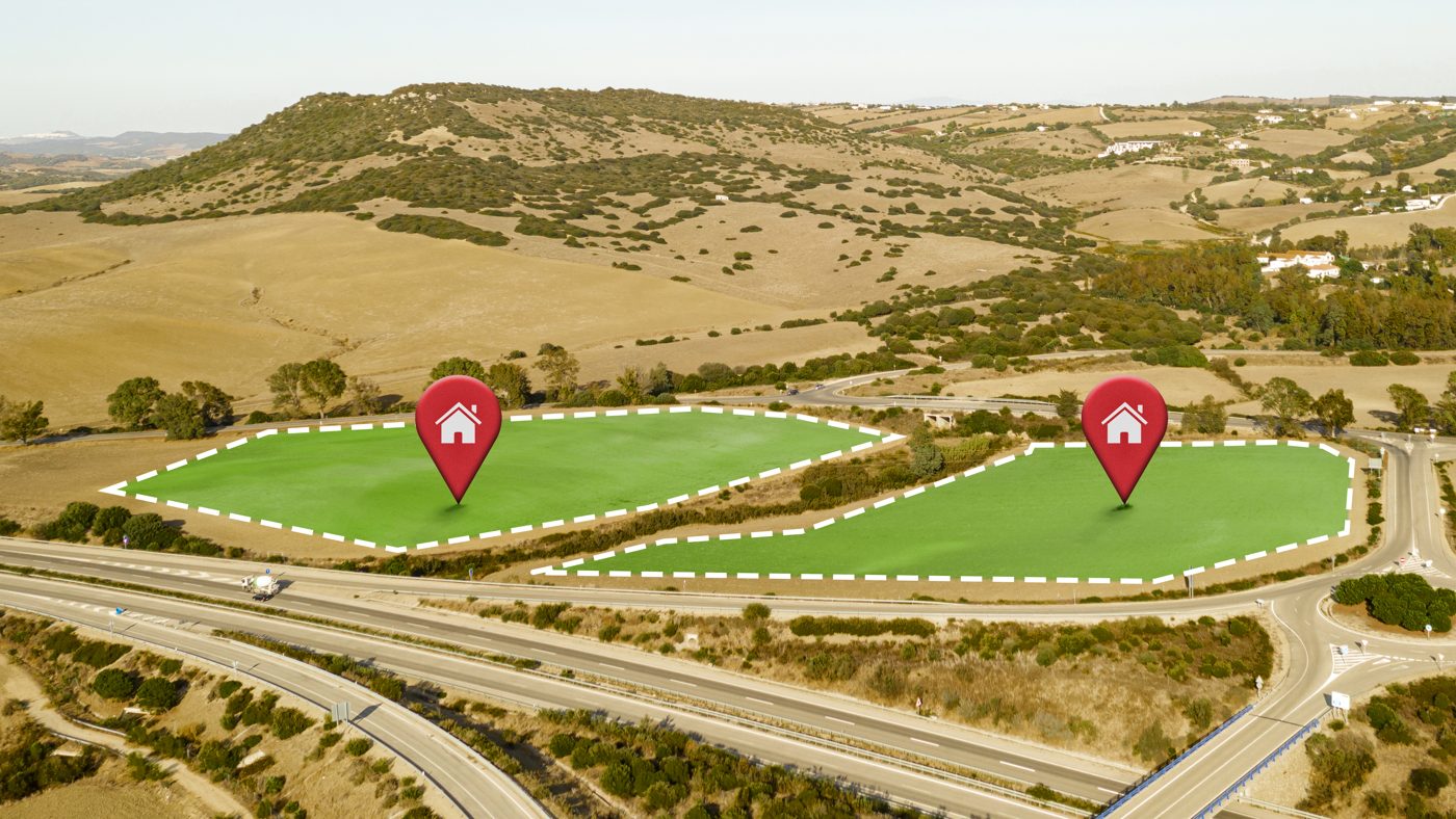
We agree the site boundary, the accuracy you need, the coordinate system and the deliverable formats, then send a clear quote.
Topographic Surveys: common questions.
What contour interval can you provide?
We generate contours at the interval your design needs, commonly 0.25 m to 1 m, from the terrain model.
Can you remove vegetation and structures from the terrain?
Yes. We classify the surface to produce a bare-earth terrain model (DTM) alongside the surface model (DSM).
Do you provide CAD-ready files?
Yes. Contours, spot levels and breaklines can be delivered as DWG or DXF in your coordinate system.
Need topographic surveys?
Send us the location and what you need. We reply within one business day.