Aerial Mapping in the UAE
High-resolution orthomosaic maps for planning and site analysis.
What it is
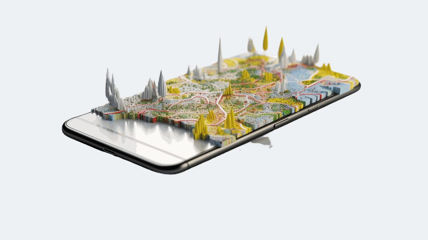
An orthomosaic is a single, measurable aerial image of your site, stitched from hundreds of overlapping drone photos and corrected so distances and areas are true. It becomes the base map for planning, design reviews and client presentations.
You receive
- Orthomosaic GeoTIFF
- ECW / JPEG2000
- KMZ for Google Earth
- Web map link
Typical uses
- Master planning and design base maps
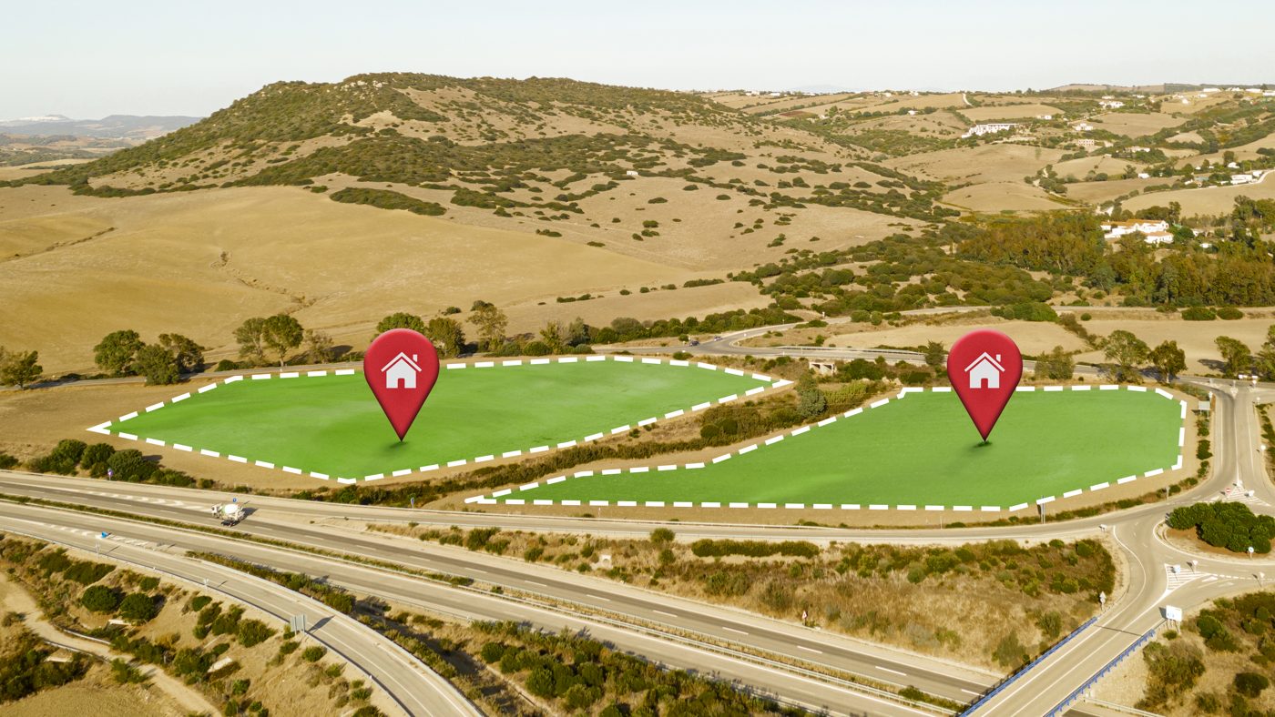
- Site analysis and land-use mapping
- Before / after and progress comparisons
- Asset and boundary documentation
From scope to delivery.
We agree the site boundary, the accuracy you need, the coordinate system and the deliverable formats, then send a clear quote.
Aerial Mapping: common questions.
What resolution can you deliver?
Ground resolution depends on flight height and camera, and is usually a few centimetres per pixel. We set it to match how the map will be used.
Which coordinate system do you use?
We deliver in the coordinate system your project uses, for example WGS 84 / UTM or a local UAE grid, as agreed at the start.
Can you map large areas?
Yes. Large sites are split into planned flight blocks and processed together into one seamless map.
Need aerial mapping?
Send us the location and what you need. We reply within one business day.