GIS Analysis in the UAE
Spatial analysis, data management and map production.
What it is
Survey data becomes valuable when it answers a question. We clean, combine and analyse spatial data, from network routes to land-use studies, and present the results as clear maps and datasets.
You receive
- Shapefile / GeoPackage
- File geodatabase
- GeoJSON
- Map PDFs and dashboards
Typical uses
- Network and route planning
- Asset registers and data cleaning
- Geocoding and address data
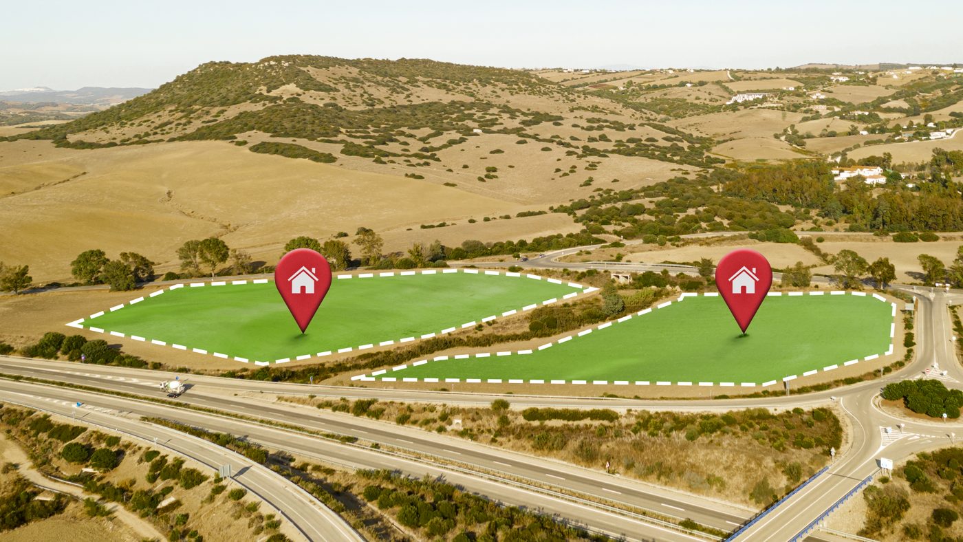
- Feasibility and site-selection studies

From scope to delivery.
We agree the site boundary, the accuracy you need, the coordinate system and the deliverable formats, then send a clear quote.
GIS Analysis: common questions.
Which GIS software do you work with?
We work with industry-standard GIS tools and deliver in open and common formats so your team can use the data in its own software.
Can you work with our existing data?
Yes. We regularly clean, convert, geocode and merge client datasets, including large CSV and CAD sources.
Do you build web maps?
Yes. We can publish interactive web maps and simple dashboards for sharing results.
Need gis analysis?
Send us the location and what you need. We reply within one business day.