Drone Surveying in the UAE
UAV survey flights with ground control for utilities, telecom and construction.
What it is
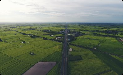
A drone survey captures a whole site in hours instead of days. We plan each flight around the accuracy you need, set ground control, fly within UAE aviation rules and turn the imagery into data your engineers can use straight away.
You receive
- GeoTIFF orthomosaic
- LAS / LAZ point cloud
- DSM / DTM
- Survey report (PDF)
Typical uses
- Utility and pipeline route surveys
- Telecom site and corridor surveys
- Construction site baselines and progress
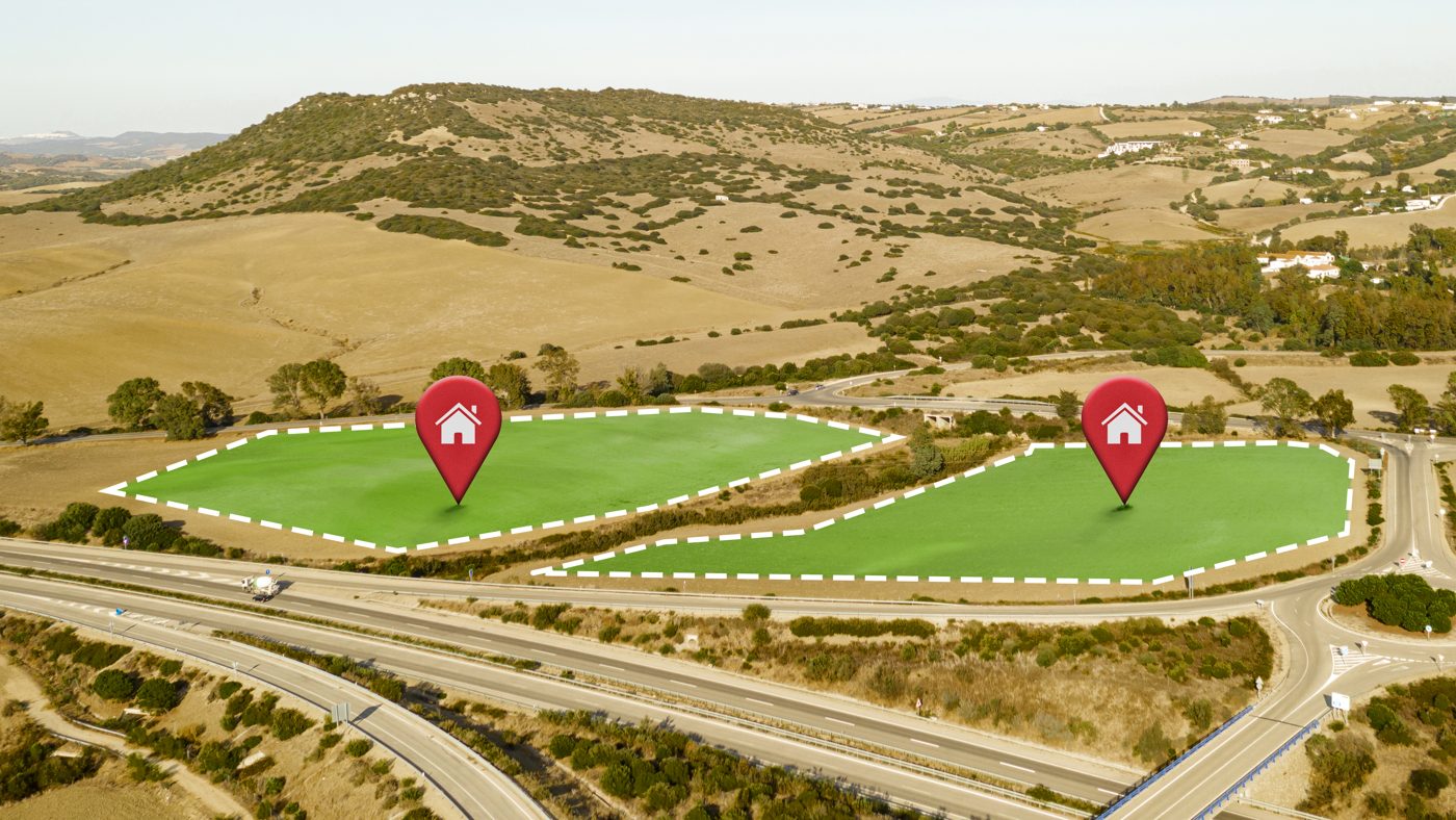
- Land development and feasibility
From scope to delivery.
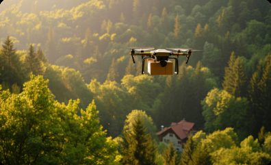
We agree the site boundary, the accuracy you need, the coordinate system and the deliverable formats, then send a clear quote.
Drone Surveying: common questions.
Do I need a permit for a drone survey in the UAE?
Yes. Commercial drone flights in the UAE need approval from the relevant aviation authority. We handle the flight permission process and site coordination as part of the project.
How accurate is a drone survey?
Accuracy depends on flight height, camera, ground control and site conditions. We agree the required accuracy with you before the flight and report the achieved accuracy, checked against independent points, with every delivery.
What do I receive at the end?
Typically an orthomosaic, an elevation model and a point cloud, plus a short survey report. We can also deliver CAD and GIS layers in your coordinate system.
Need drone surveying?
Send us the location and what you need. We reply within one business day.